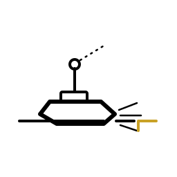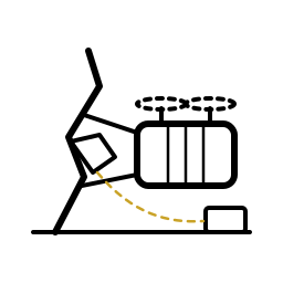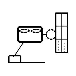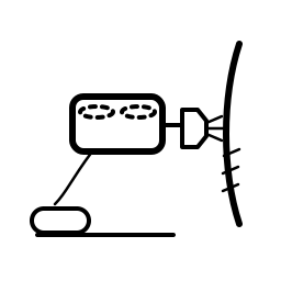
FIND THE EDGE.
MARK IT. MEASURE IT.
A small moulded surface craft — the information and marking layer of a spill response.
Find · Mark · Measure · Treat — Shore-Enabled
A small moulded surface craft for oil-spill and surface-debris response. Skimmer is the information and marking layer of the first hour: it finds the slick edge, marks it with moulded buoys, measures what is there — and treats only where a regulator has approved it, on a positive shore command. A civil work machine, built in Canada.
A small moulded surface craft — the information and marking layer of a spill response.
Find · Mark · Measure · Treat — Shore-Enabled
When oil reaches water, the response that matters most in the first hours is not collection — it is knowing exactly where the slick is, where its edge runs, how thick it sits, and where the worst of it is heading.
Skimmer is a small, two-person-liftable moulded surface craft built for exactly that job. Launched from a truck, a dock or a workboat, it runs the slick edge on its own station-keeping, marks the boundary with high-visibility moulded buoys it leaves in the water, measures thickness along its track, and streams the growing map to shore over commercial radio and GNSS — the civil line's standing advantage, used openly. A team of craft turns a rumour of a slick into a georeferenced perimeter a response commander can act on.
We are precise about the name. Skimmer does not mechanically recover oil — bulk recovery belongs to boom-and-skimmer vessels two orders of magnitude larger, and within our own fleet to Recovery CS-580, its pairing platform. Skimmer is deliberately the finding-and-marking layer: the craft that makes every one of those bigger assets arrive at the right place, first time. Where a regulator has approved dispersant for the incident, a sealed cartridge variant can spot-treat the worst patches — and only on a positive command from shore.
The water trio splits a spill response the way a fire crew splits a fireground: Skimmer CS-520 is reconnaissance and marking, Recovery CS-580 is bulk collection, Dredger CS-570 works the sediment. One shared hull and station-keeping module underneath all three — three jobs, one parts bin.
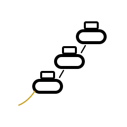
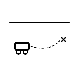
One loop, four phases: find the edge, mark it, measure it — and treat only where shore says so. The craft repeats the cycle until the perimeter is closed or the pack runs down.
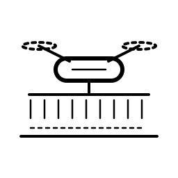
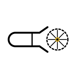
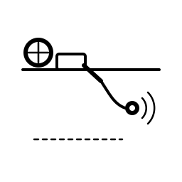
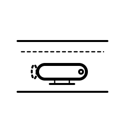
FIND. A bow sensor sweeps a swath ahead of the craft and discriminates oil from water; the autopilot turns along the boundary and holds it, station-keeping against the current the way the shared hull module was designed to.
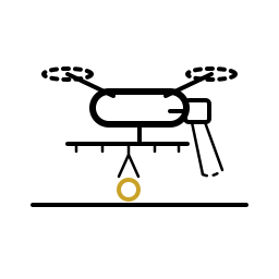
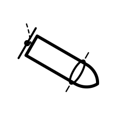
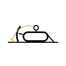
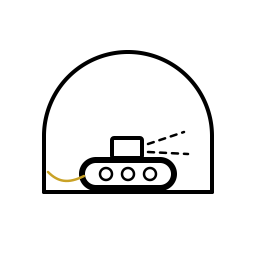
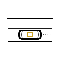
MARK. At intervals along the edge, the aft chute releases a moulded high-visibility buoy that stays behind as a physical fix — visible to crewed vessels and aircraft with no screen in the loop. Every drop is logged with position.
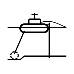
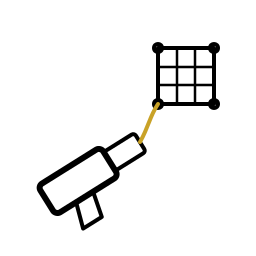
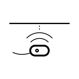
MEASURE. Thickness sensing along the track grades the slick, so the map shows not just where the oil is but where it is worst — the difference between a perimeter and a plan.
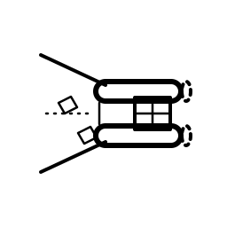
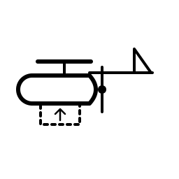
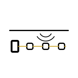
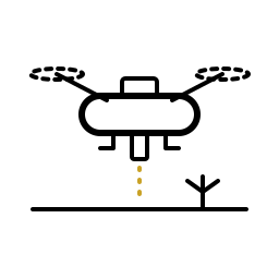
TREAT. With the dispersant fit installed and a regulator's approval on the incident, shore command can positively enable spot treatment inside a geofence. Release is logged, litre by litre. The craft never decides this on its own — by design, there is no autonomous path to the spray bar.
The deck carries a single payload bay with a common mechanical, power and data interface — and exactly one positively-enabled actuation line, designed in from the start, never patched on.
Fit one is the marker-buoy dispenser: a stack of moulded, high-visibility buoys — the consumable the craft exists to spend. Fit two is sensing: a water-quality sonde and oil-thickness measurement, the mission's enabling instrument. Fit three is the sealed dispersant cartridge and its low, shrouded spray bar — a fit that only sails when a regulator has approved dispersant for the incident, and one the platform is designed to drop entirely without losing anything structural if the approval never comes.
The cartridge is the custody boundary: moulded in-house, filled by a licensed chemical partner, swapped as a sealed unit. Canadian Shield does not formulate and operators never handle open chemical.
The complete data card for the Skimmer — dimensions, performance, drive and control, payload, construction and compliance, grouped the way a working fleet buyer compares them.
No headline coverage or treated-area figure is published: coverage per craft is swath × speed × time-on-edge, and treated area per cartridge is set by slick thickness and the dispersant-to-oil ratio the regulator approves for the incident. A single number without those variables attached is meaningless — so, as with the spot-spray platforms, the variables are stated and the number is not.
The Industrial line is Canadian Shield's civil line: the same sovereign manufacturing stack that moulds the defence fleet, pointed at work — seeding, spraying, dredging, spill response.
Skimmer is that doctrine on the water. Hull, deck, trays and buoys are moulded in-house on Canadian-cut tooling; the buoys — the consumable the platform spends — are among the purest expressions of our recycled-material discipline in the whole fleet. The shallow-draft hull and station-keeping module underneath it is shared with Recovery CS-580 and Dredger CS-570, so the water trio rides one parts bin, one tooling family and one sustainment stream. Drawn once, used three times: that is the economics that lets a municipality or a port authority afford a team of these instead of one of something exquisite.
And because this is the civil line, the craft talks. Commercial radio and GNSS are permitted up here and used openly — live telemetry, a shared map, positive shore control of anything that matters. The defence fleet's no-radio discipline exists for the jammed battlefield; a harbour spill response needs the opposite, and gets it.
Skimmer carries buoys, sensors and — only where approved — sealed dispersant. No warhead, no fuze, no energetic or terminal-effect content of any kind, ever; the family shorthand is “carriers, not munitions,” and on the civil line the carrier carries work. It is high-visibility by doctrine: a response craft among crewed vessels is built to be seen, not to hide.
A fuel barge has put oil in the water overnight. The response's first question is not “how do we collect it” — it is “where is it, and where will it be at noon.” This is Skimmer's hour — illustrative of how the craft works a nearshore, harbour or river-reach incident, not an incident record.
A crew of two arrives at the boat launch with craft racked in the pickup bed — charged packs, buoy stacks, and the sensing fits already latched. Two people lift each craft to the water: no crane, no trailer queue, no ramp negotiation. Swappable sealed packs keep the team on the water instead of waiting on a charger, and the shore station is up in minutes — commercial radio link, shared map, enable authority.
A team of craft fans out to the reported slick, finds the edge and starts walking it — each holding station against the current, each streaming its track. The edge hardens, buoy after moulded buoy left bobbing at the boundary with every drop logged; thickness measurements grade the map to show where the oil is worst. The perimeter streams to the command GIS — and if dispersant is approved for the incident, shore enables spot treatment inside the geofence. The craft never self-authorizes.
Recovery-layer vessels work the marked, graded slick. The Skimmer team lifts out, washes down and reconciles the count: every oiled sortie ends at the pressure-wash fittings, sacrificial sensor windows swap out, packs swap and buoys restock. Buoy positions are logged for retrieval — nothing is left adrift, because a response tool must never become its own pollution incident.
Skimmer is the finding-and-marking third of the water trio — three craft on one shared shallow-draft hull and station-keeping module, moulded on the same Canadian tooling as the rest of the line. Same canon, different jobs.
The information and marking layer — finds the edge, marks it, measures it, and treats only on a positive shore command.
Download PDF ↓The pairing platform — bulk collection of the slick Skimmer has found, marked and graded.
Download PDF ↓The third of the trio — works the sediment on the same shared hull and station-keeping module.
Download PDF ↓The Industrial line's anchor — the same civil-line rules: radio and GNSS permitted, used openly.
Download PDF ↓If you run a port, a municipality, a terminal or a response organization, the conversation worth having is about the information layer of your worst morning — and about the Canadian shop floor it is moulded on.